 Currently, the House and Senate are transitioning into the 117th Congress. While summaries and text of newly proposed pieces of legislation are being updated, we thought it was a good opportunity to discuss some of the exciting environmental bills that became law recently.
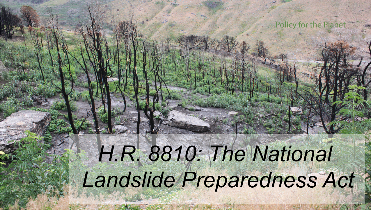
The National Landslide Preparedness Act was introduced by Representative Suzan DelBene (D-WA) on behalf of five original cosponsors* referred to the House Natural Resources Committee and the House Science, Space, and Technology Committee on November 24, 2020. The bill was passed on a voice vote (1) in the House and unanimous consent (2) in the Senate. became Public Law No: 116-323 on January 5, 2021. *The five original cosponsors in addition to Rep. DelBene are Reps. Derek Kilmer (D-WA-6), Denny Heck (D-WA-10), Adam Smith (D-WA-9), Matt Cartwright (D-PA-8), and Suzanne Bonamici (D-OR-1). THE LAW: H.R. 8810 What does this law do? This bipartisan law provides funds to establish two programs: The National Landslide Hazards Reduction Program and the National 3D Elevation Program through the United States Geological Survey (USGS). The National Landslide Hazards Reduction Program aims to better identify landslide hazards and risks, reduce losses from landslides, protect communities currently at risk of landslide hazards, and improve the communication of emergency preparedness. This will involve identifying, mapping, assessing and researching landslide hazards and responding to landslide events. Priority areas will also be established in coordination with state offices, local government, territories and Indian tribes. Landslide hazard guidelines will be developed and standardized for those directly involved with the program (e.g. geologists and emergency management personnel), and emergency procedures will be developed and implemented. It will also create a publicly-accessible database that will be maintained and used to alert citizens of risks and health hazards associated with landslides as well as data on areas that have been stabilized and reduction of losses from landslides. National landslide research grants may be provided through the National Science Foundation to advance research on landslide events and develop ways to reduce risks and minimize losses that occur with landslide events. A Debris Flow Early Warning System is already in place, but this law will expand it to include more recently burned areas of the western United States, stormwater drainage monitoring procedures in high risk areas, and at-risk areas of wildfires and volcanic mudflows. The 3D Elevation Program (3) will be responsible for coordinating and facilitating the collection of 3D elevation data of the United States using high-resolution surveys (LiDAR) (4). Data will be disseminated to federal agencies and non-federal entities, as well as used to produce standard publicly accessible data products. This will be overseen and managed by a 3D Elevation Federal Interagency Coordinating Committee. One year after enacted, and then every five years, the Secretary of the Interior (acting through the director of the USGS) in Coordination with the committee, will publish an updated national strategy that will include goals and priorities for the program. Why was it proposed? Landslides are known geologic hazards that happen in every state, caused by disturbances in the natural stability of a slope. Some areas are more susceptible to landslides, as they often accompany other natural phenomena including heavy rains, droughts, fires, earthquakes, and volcanic eruptions (5). Specific areas of increased risk include: steep slopes, areas where landscapes have lost significant vegetation naturally (e.g. fires) or by human behavior (e.g. logging), channel or river banks, areas where surface runoff is directed, or newly formed slopes (e.g. where landslides have occurred before or due to construction) (5). They cause ~$2-4 billion per year in damage and kill between 25 and 50 people each year in the United States (5,6, 7). Globally, landslides result in billions of dollars of damage and thousands of deaths and injuries each year. Adverse effects can include infrastructure destruction, medical costs, and disruption of transportation routes, as well as the loss of property value, fish stocks, timber, and both water availability and quality. More data can help to identify more areas of risk and mitigate potential damage. Benefits This federalizes the ability to monitor areas of high risk, advance landslide research, and do more LiDAR mapping to assess the land movement underneath vegetation covered areas. 3D elevation data can be an essential tool for public safety, national security, infrastructure, transportation, agriculture, and natural resource management. This is especially important in landslide prone areas like Washington state, which need better landslide prediction and monitoring efforts, but have increasingly tight budgets especially due to the pandemic. Challenges Funding is only authorized for the fiscal years 2021-2024. Without the establishment of long term funding, maintenance of these endeavors will fall to individual states that would have to designate specific funding and resources to these projects. Landscapes are continuously changing, and require active monitoring, rapid responses, and cost mitigation. Want to advocate? Although this bill has become law, advocacy is still important. Sending “thank you” notes or emails to your legislators who support a bill, an Executive Order, or other legislative efforts are powerful tools in forming relationships, and tells your legislator that they are representing their constituents’ needs. We encourage people to reach out to their legislators with appreciation, questions, or concerns. Footnotes:
0 Comments
Leave a Reply. |